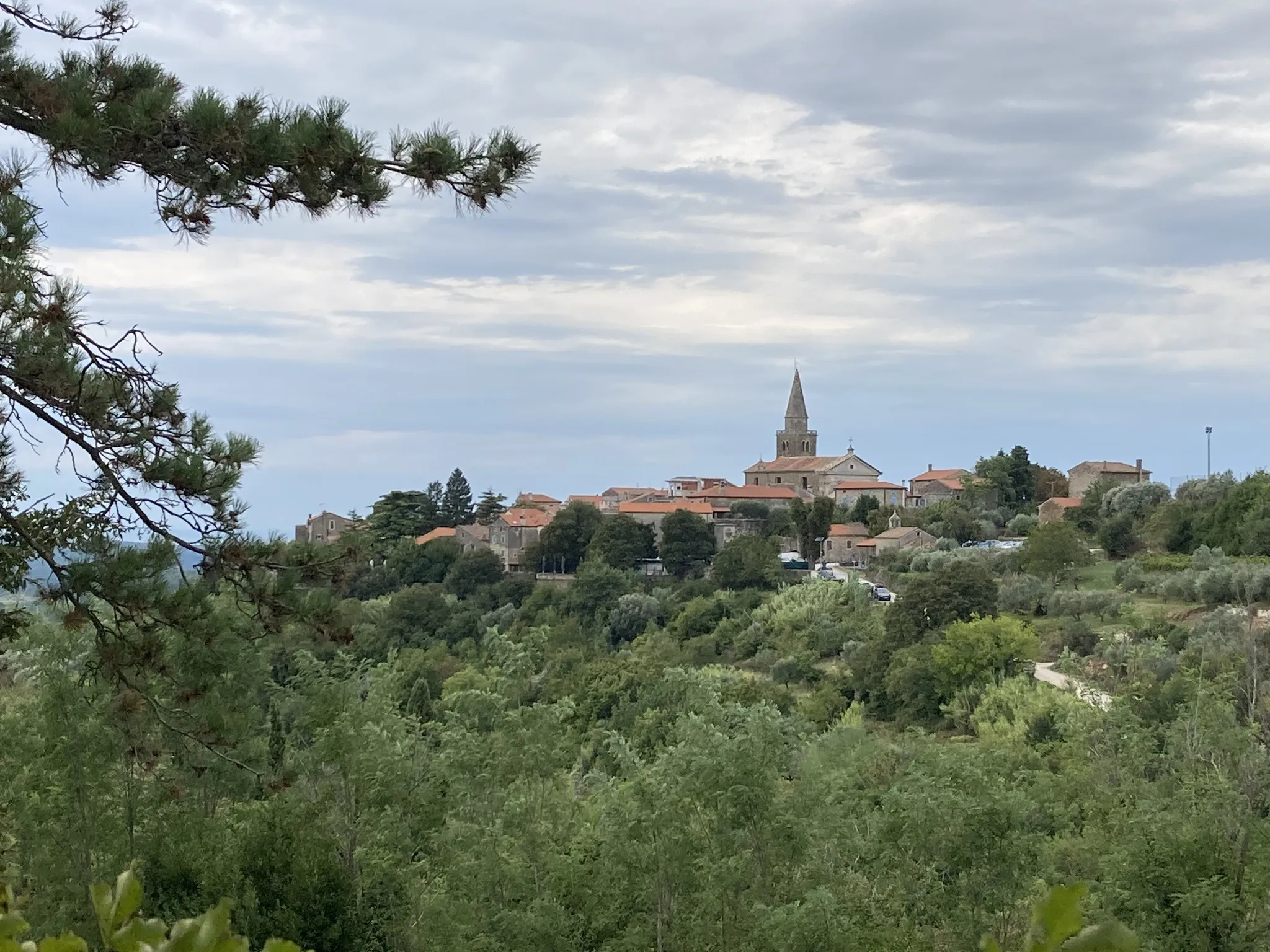
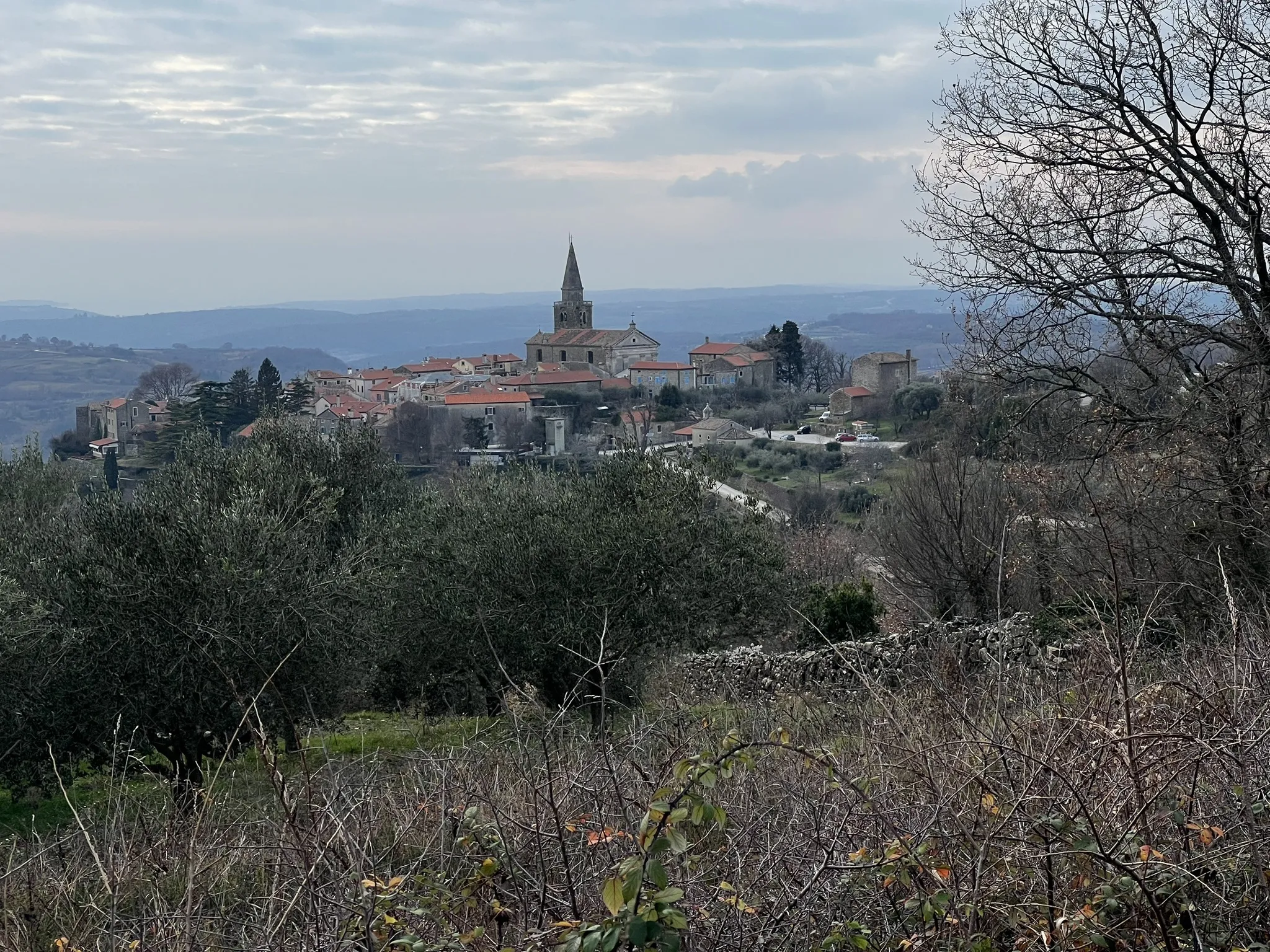
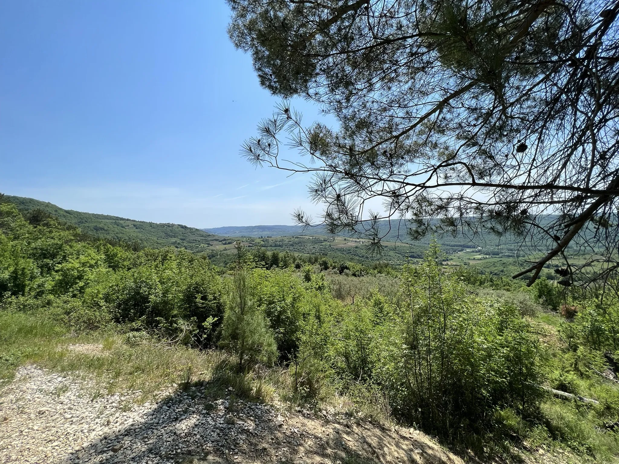
Groznjan
Groznjan
Start: Groznjan
End: Groznjan
Distance: 8.2 km
Time: 2:47 h
Altitude: 385 m
Descent: N/A
Type: Running
Difficulty: Moderate
No GPS file available for this trip.
Note: Map and trails on the website are informative and are to be used at one's own risk.
Leave a comment
Log in to post comment and add trip to watchlist