
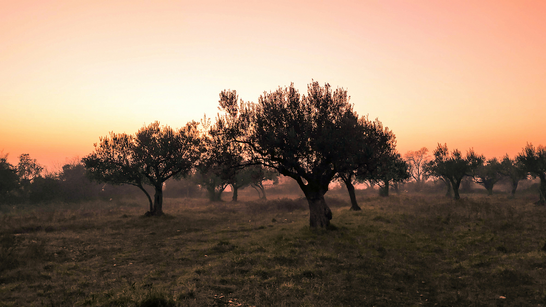
Banjole
Banjolka
Start: Banjole
End: Banjole
Distance: 14.2 km
Time: 3:30 h
Altitude: 201 m
Descent: N/A
Type: Dog friendly
Difficulty: Easy
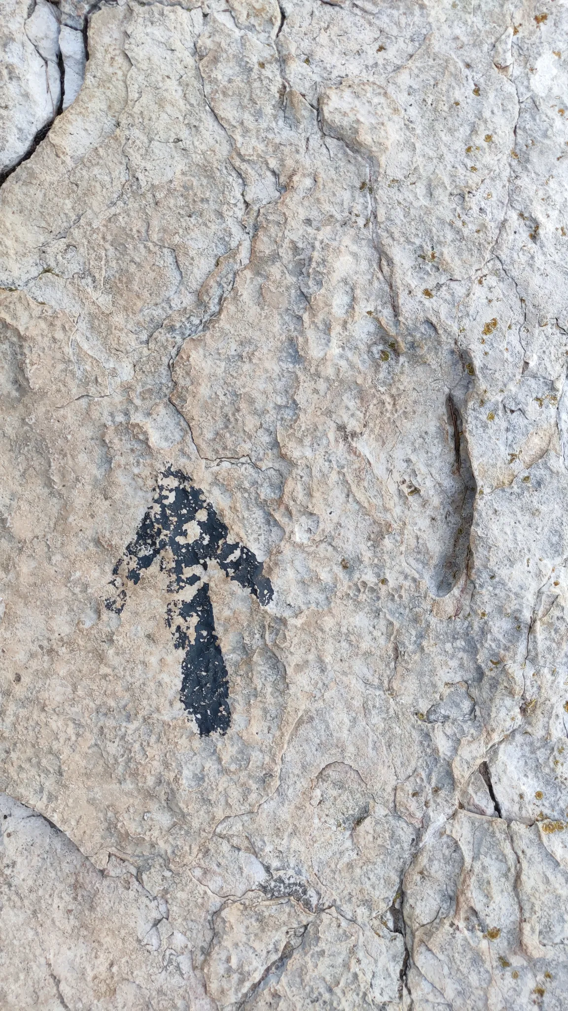
Note: Map and trails on the website are informative and are to be used at one's own risk.
Leave a comment
Log in to post comment and add trip to watchlist